


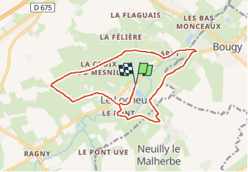
le locheur-01

gr1346
User

Length
8.4 km

Max alt
123 m

Uphill gradient
123 m
Km-Effort
10.1 km

Min alt
50 m

Downhill gradient
123 m
Boucle
Yes
Creation date :
2024-06-18 07:08:58.553
Updated on :
2024-06-18 15:42:29.97
2h17
Difficulty : Medium

FREE GPS app for hiking
 SityTrail
IGN / Geographical institutes
SityTrail Plus
The world is yours!
About
Trail Walking of 8.4 km to be discovered at Normandy, Calvados, Val d'Arry. This trail is proposed by gr1346.
Description
Même point de départ du parking on rejoint le chemin à coté de l’étang puis idem à Le Locheur
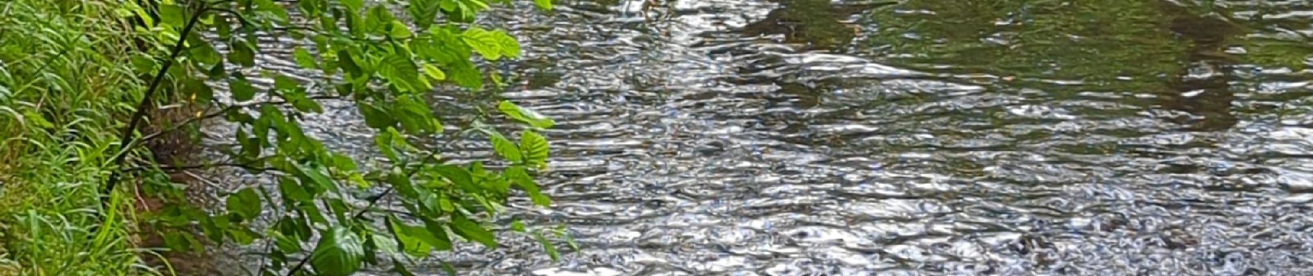
Photos


Positioning
Country:
France
Region :
Normandy
Department/Province :
Calvados
Municipality :
Val d'Arry
Location:
Le Locheur
Start:(Dec)
Start:(UTM)
678937 ; 5442114 (30U) N.
Comments